Background – Blouberg Local Municipality
Blouberg Local Municipality was established in 2000 after the amalgamation of the then Bochum–My Darling TLC, Alldays–Buysdorp TLC and portions of the former Moletji–Matlala TLC. Named after the majestic Blouberg (“Blue Mountain”) range, the municipality is located in the northern part of the Capricorn District in Limpopo Province and borders Botswana.
Situated approximately 95 km from Polokwane, Blouberg is the largest local municipality in the Capricorn District. It is a predominantly rural area with a rich cultural heritage, dramatic mountain landscapes and a proud history of resistance.
- Extent: approximately 9 540 km²
- Population (2022 Census): 192 109
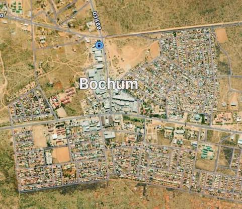
- Administrative seat: Senwabarwana (formerly Bochum)
- Number of wards: 22
- Main language: Northern Sotho (Sepedi)
A History of Resistance
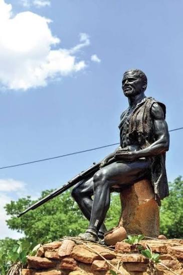
- The area has a proud history of physical resistance to early 19th-century Boer colonial expansion, led by the Bahananwa people under Chief Malebogo (Kgoshi Kgalushi Malebogo).
- The Malebo–Boer War Battlefield was later declared a provincial heritage site.
- Communities strongly resisted the later Bantustan and Trust systems, resulting in deliberate underdevelopment of the region by both the apartheid and Bantustan governments.
- The dominant communities are the Bahananwa and Batlokwa people, with smaller Vha-Venda, Afrikaans and English-speaking populations on commercial farms.
Blouberg Mountain – “The Blue Mountain”
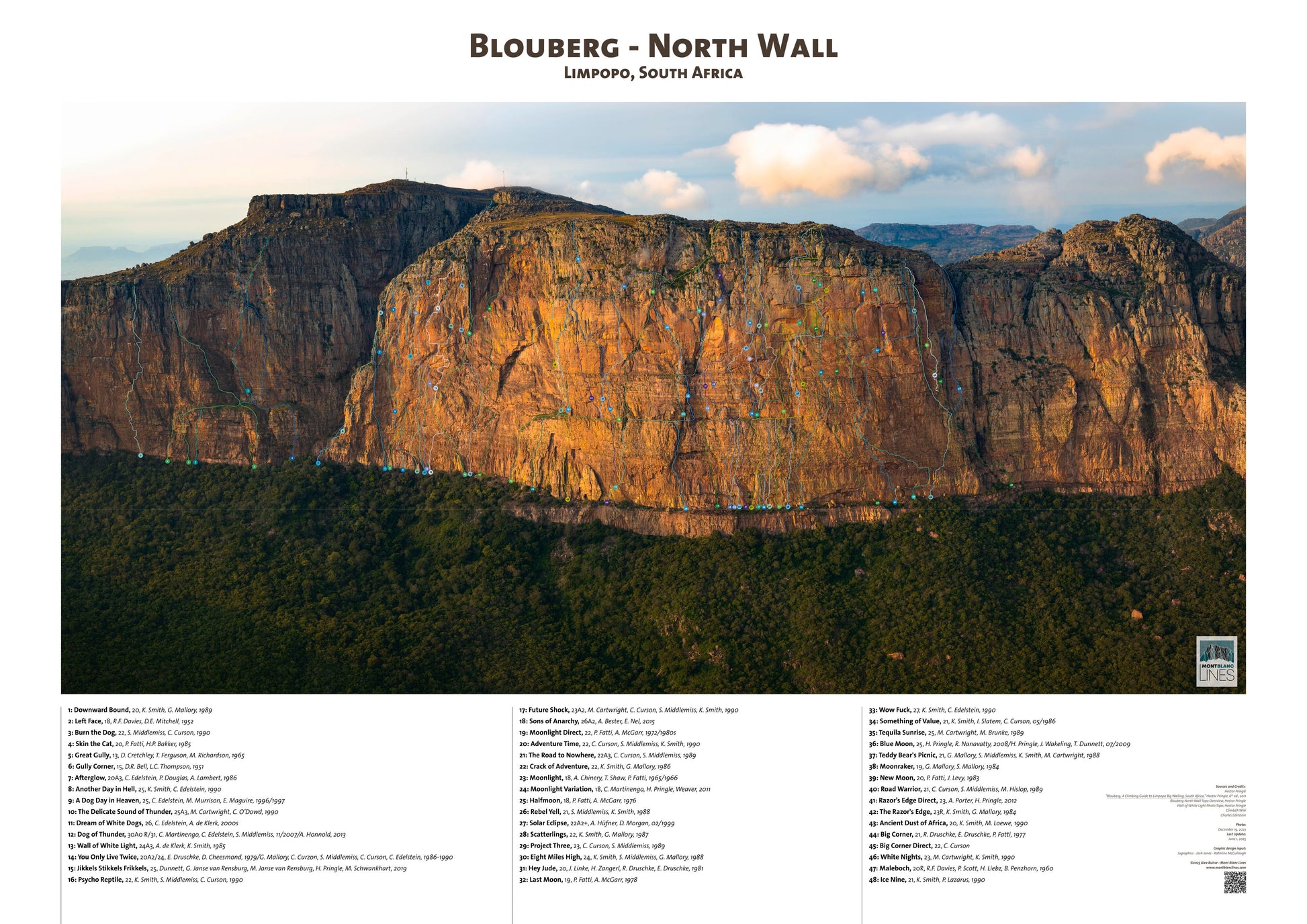
One of South Africa’s premier big-wall climbing destinations
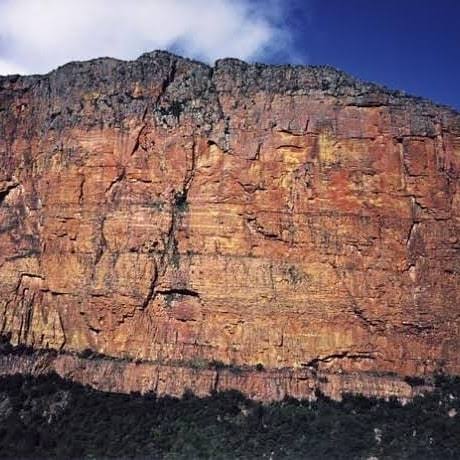
- Dramatic sandstone cliffs rising above the surrounding bushveld
- World-class natural rock climbing with routes up to 350 m
- Vegetation ranges from subtropical savanna at the base to alpine near the summit
- Part of the African Ivory Route
- Home to hiking trails, rock pools and panoramic views
- Hosts one of South Africa’s largest Cape Vulture breeding colonies
Makgabeng Plateau & Ancient Rock Art
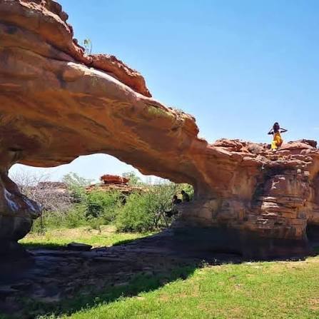
The Makgabeng area contains one of the richest concentrations of rock art in Limpopo, with hundreds of recorded sites dating back thousands of years.
- Over 400–800 rock art sites attributed to San, Khoekhoe and later Iron Age communities
- Paintings include animals, human figures, ritual scenes and early forms of protest art
- Significant Iron Age archaeological sites
- Unique geological formations and rare plant and reptile species
- An important cultural landscape linking the San hunter-gatherers to the later Bahananwa people
Senwabarwana – “Where the Bushmen Drink”
- Administrative and economic hub of the municipality (formerly known as Bochum)
- Name reflects the area’s deep San heritage – the wetland was a water source for the San people
- German missionary influence is still visible through the Leipzig Mission Station and the Lutheran Church near Helen Franz Hospital
- Home to the historic 1903 prison and other missionary-era buildings
- Serves as the main service centre for surrounding villages
Nature Reserves & Living Heritage
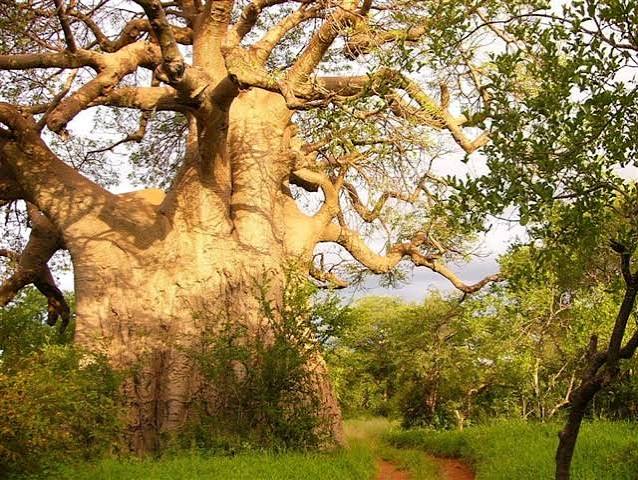
Blouberg offers a blend of natural beauty and living cultural heritage.
- Blouberg Nature Reserve – diverse habitats, Cape Vulture colony, game viewing
- Maleboch Nature Reserve
- Statue of Chief Malebogo and the Malebo Boer War Battlefield (provincial heritage site)
- Traditional crafts including pottery and basketry still practised in local communities
- African Ivory Route camp at Beauly at the foot of the Blouberg Mountain
- Proximity to the Greater Mapungubwe Cultural Landscape and the Vhembe Biosphere