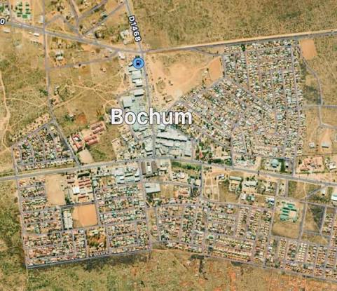
Location
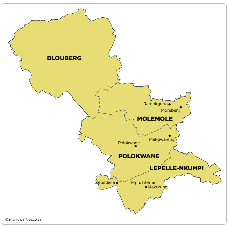
Blouberg Local Municipality is situated in the northern part of the Capricorn District in Limpopo Province, approximately 95 km from Polokwane, the capital city of Limpopo. It is the largest local municipality in the Capricorn District by land area.
Key Facts:
Administrative seat: Senwabarwana (formerly Bochum)
Coordinates (approx.): 23°08′S 29°00′E
Borders Botswana to the north-west
Administrative seat: Senwabarwana (formerly Bochum)
Coordinates (approx.): 23°08′S 29°00′E
Borders Botswana to the north-west
Borders
Blouberg Local Municipality is bordered as follows:
- North / North-West – Botswana
- East – Makhado and Musina Local Municipalities (Vhembe District)
- South – Polokwane and Molemole Local Municipalities (Capricorn District)
- South-West – Mogalakwena Local Municipality (Waterberg District)
- West – Lephalale Local Municipality (Waterberg District)
Size & Settlements
Blouberg Local Municipality covers a total area of approximately 9 540 km², making it the largest local municipality in the Capricorn District.
- 22 wards
- Over 100 villages / settlements
- Main towns / service centres: Senwabarwana and Alldays
- Predominantly rural character with semi-urban nodes